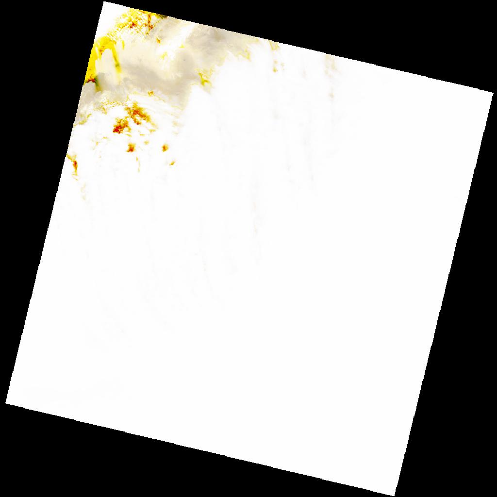
LC09_L2SP_192037_20221210_20221212_02_T1_SR_stac
dataset of product ls9_sr
Indexed by odc_writer
,
created
Region
192037
for
10th December 2022
Fields 🔗
cloud_cover
94.68
collection_category
T1
creation_time
2022-12-10 10:02:24
crs_raw
•
data_coverage
•
dataset_version
•
eo_gsd
•
eo_sun_azimuth
158.905
eo_sun_elevation
30.867
format
GeoTIFF
id
5a23a4dc-0293-53db-a9c7-96892ff38f38
instrument
OLI_TIRS
label
•
lat
32.119 to 34.22
lon
6.777 to 9.203
platform
LANDSAT_9
product_family
•
region
•
region_code
192037
rmse
9.04
rmse_x
6.031
rmse_y
6.734
sat_orbit_state
•
sat_relative_orbit
•
time
2022-12-10 10:02:24 to 2022-12-10 10:02:24
Related Datasets 🔗
LC09_L2SP_192037_20221210_20221212_02_T1_SR_stac