Fields 🔗
cloud_cover
84.09
collection_category
T1
creation_time
2022-02-15 00:10:05
crs_raw
•
data_coverage
•
dataset_version
1.1.0
eo_gsd
30.0
eo_sun_azimuth
115.44
eo_sun_elevation
61.614
format
GeoTIFF
id
57b011fe-4f63-5408-bc14-960e41404381
instrument
OLI_TIRS
label
•
lat
-14.059 to -11.971
lon
25.84 to 27.905
platform
landsat-9
product_family
fc
region
•
region_code
173069
rmse
8.769
rmse_x
5.101
rmse_y
7.132
sat_orbit_state
•
sat_relative_orbit
•
time
2021-12-18 08:17:33 to 2021-12-18 08:17:33
Related Datasets 🔗
Location 🔗
s3://deafrica-services/fc_ls/1-1-0/173/069/2021/12/18/fc_ls_173069_2021-12-18.stac-item.json
| bs | fc_ls_173069_2021-12-18_bs.tif |
|---|---|
| checksum:sha1 | fc_ls_173069_2021-12-18.sha1 |
| metadata:processor | fc_ls_173069_2021-12-18.proc-info.yaml |
| npv | fc_ls_173069_2021-12-18_npv.tif |
| pv | fc_ls_173069_2021-12-18_pv.tif |
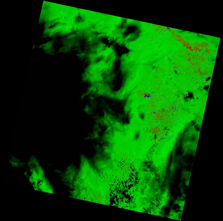
| thumbnail | fc_ls_173069_2021-12-18_thumbnail.jpg |
| ue | fc_ls_173069_2021-12-18_ue.tif |