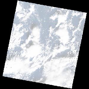
LE07_L2SP_179037_20031227_20200915_02_T2_SR_stac
dataset of product ls7_sr
Indexed by odc_writer
,
created
Region
179037
for
27th December 2003
Fields 🔗
cloud_cover
47.0
collection_category
T2
creation_time
2003-12-27 08:30:29
crs_raw
•
data_coverage
•
dataset_version
•
eo_gsd
•
eo_sun_azimuth
154.185
eo_sun_elevation
28.839
format
GeoTIFF
id
5256a9a0-0b61-539c-b3ee-600c5028ca7b
instrument
ETM
label
•
lat
32.222 to 34.129
lon
26.848 to 29.25
platform
LANDSAT_7
product_family
•
region
•
region_code
179037
rmse
nan
rmse_x
nan
rmse_y
nan
sat_orbit_state
•
sat_relative_orbit
•
time
2003-12-27 08:30:29 to 2003-12-27 08:30:29
Related Datasets 🔗
LE07_L2SP_179037_20031227_20200915_02_T2_SR_stac