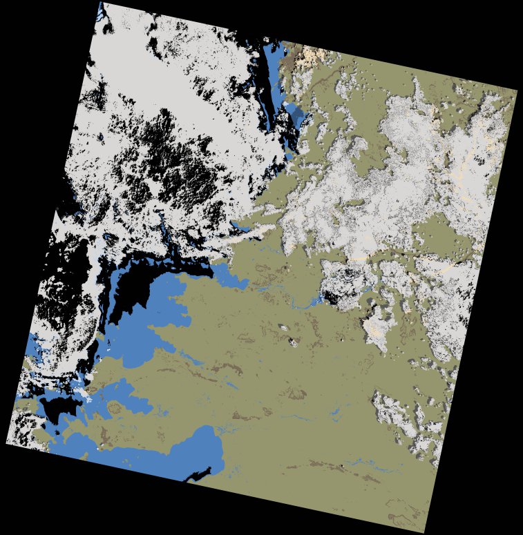
wofs_ls_170061_2024-01-20.stac-item
dataset of product wofs_ls
Indexed by odc_writer
,
created
Region
170061
for
20th January 2024
Fields 🔗
cloud_cover
40.78
collection_category
T1
creation_time
2024-02-23 05:30:28
crs_raw
•
data_coverage
•
dataset_version
1.0.0
eo_gsd
30.0
eo_sun_azimuth
124.874
eo_sun_elevation
55.395
format
GeoTIFF
id
51f37664-1125-5753-b818-f5db7f4f8983
instrument
OLI_TIRS
label
•
lat
-2.494 to -0.407
lon
32.985 to 34.991
platform
landsat-9
product_family
wofs
region
•
region_code
170061
rmse
7.396
rmse_x
4.705
rmse_y
5.707
sat_orbit_state
•
sat_relative_orbit
•
time
2024-01-20 07:55:47 to 2024-01-20 07:55:47
Related Datasets 🔗
wofs_ls_170061_2024-01-20.stac-item