Fields 🔗
cloud_cover
11.17
collection_category
T2
creation_time
2022-02-15 00:33:07
crs_raw
•
data_coverage
•
dataset_version
1.1.0
eo_gsd
30.0
eo_sun_azimuth
136.147
eo_sun_elevation
58.705
format
GeoTIFF
id
4f46828a-4dce-5a94-afe5-11e03d57b642
instrument
OLI_TIRS
label
•
lat
4.736 to 6.825
lon
49.241 to 51.237
platform
landsat-9
product_family
fc
region
•
region_code
160056
rmse
nan
rmse_x
nan
rmse_y
nan
sat_orbit_state
•
sat_relative_orbit
•
time
2021-11-08 06:54:32 to 2021-11-08 06:54:32
Related Datasets 🔗
Location 🔗
s3://deafrica-services/fc_ls/1-1-0/160/056/2021/11/08/fc_ls_160056_2021-11-08.stac-item.json
| bs | fc_ls_160056_2021-11-08_bs.tif |
|---|---|
| checksum:sha1 | fc_ls_160056_2021-11-08.sha1 |
| metadata:processor | fc_ls_160056_2021-11-08.proc-info.yaml |
| npv | fc_ls_160056_2021-11-08_npv.tif |
| pv | fc_ls_160056_2021-11-08_pv.tif |
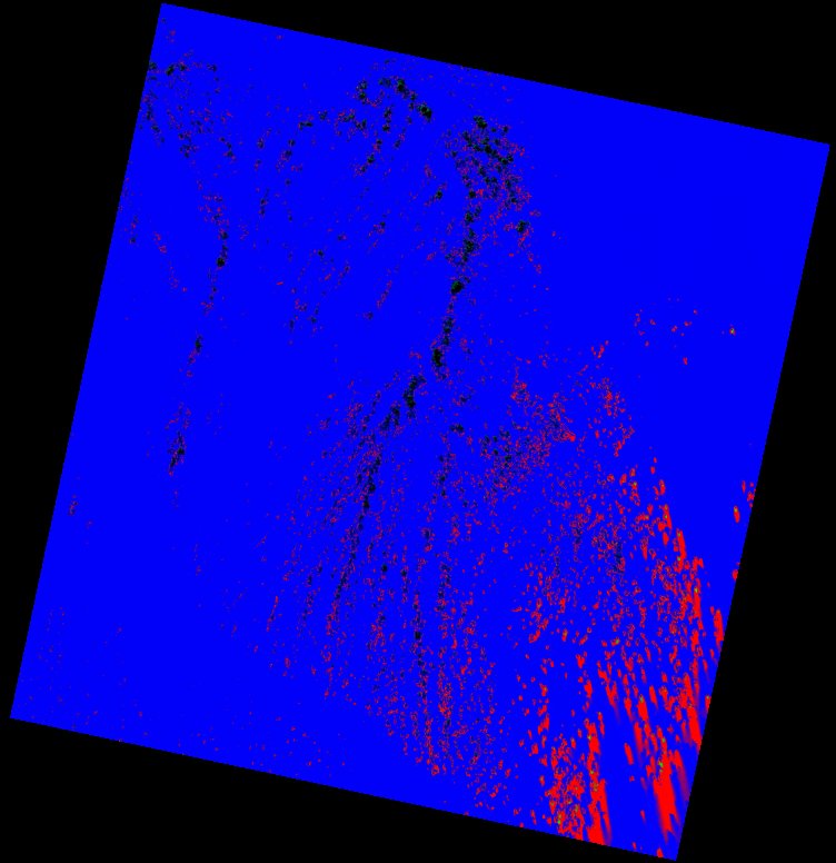
| thumbnail | fc_ls_160056_2021-11-08_thumbnail.jpg |
| ue | fc_ls_160056_2021-11-08_ue.tif |