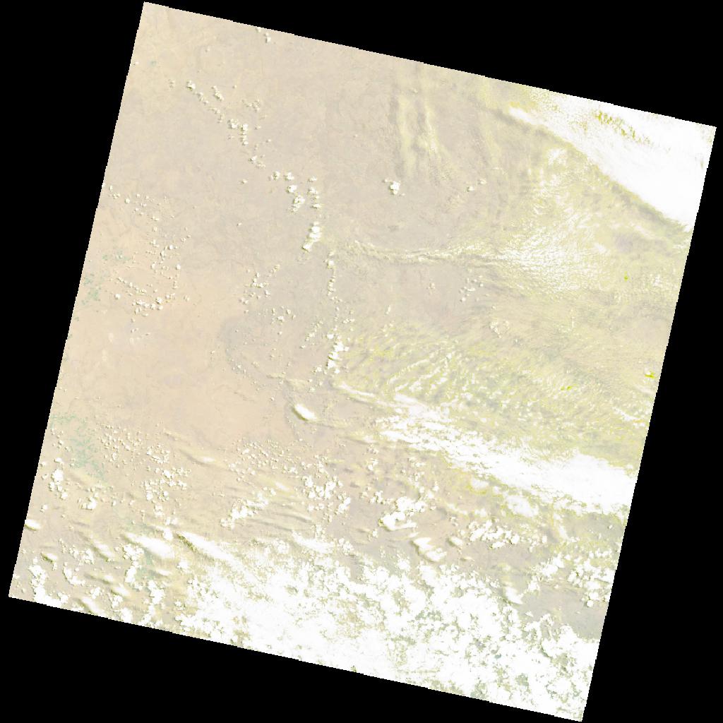
LC09_L2SP_170082_20211112_20220119_02_T1_SR_stac
dataset of product ls9_sr
Indexed by odc_writer
,
created
Archived
Fields 🔗
cloud_cover
32.94
collection_category
T1
creation_time
2021-11-12 08:06:03
crs_raw
•
data_coverage
•
dataset_version
•
eo_gsd
•
eo_sun_azimuth
67.855
eo_sun_elevation
61.07
format
GeoTIFF
id
4e31e554-5e2c-57af-a4d0-b0d395aa3f36
instrument
OLI_TIRS
label
•
lat
-32.793 to -30.694
lon
25.259 to 27.63
platform
LANDSAT_9
product_family
•
region
•
region_code
170082
rmse
7.167
rmse_x
4.969
rmse_y
5.165
sat_orbit_state
•
sat_relative_orbit
•
time
2021-11-12 08:06:03 to 2021-11-12 08:06:03