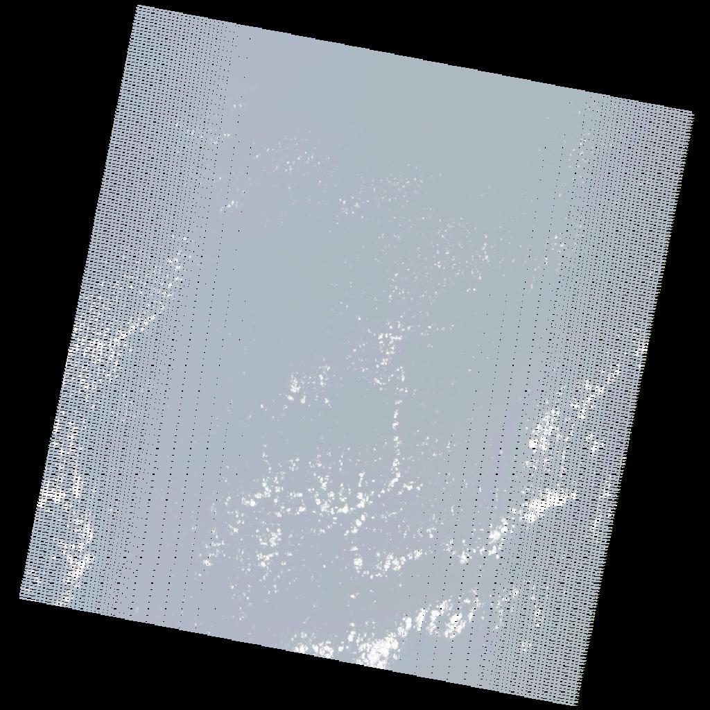
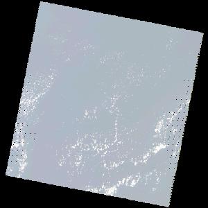
LE07_L2SP_203036_20180211_20200830_02_T2_SR_stac
dataset of product ls7_sr
Indexed by odc_writer
,
created
Region
203036
for
11th February 2018
Fields 🔗
cloud_cover
2.0
collection_category
T2
creation_time
2018-02-11 11:11:05
crs_raw
•
data_coverage
•
dataset_version
•
eo_gsd
•
eo_sun_azimuth
150.216
eo_sun_elevation
36.191
format
GeoTIFF
id
4ca8f597-b24a-5c67-ad7f-ed691cb03289
instrument
ETM
label
•
lat
33.663 to 35.562
lon
-9.871 to -7.336
platform
LANDSAT_7
product_family
•
region
•
region_code
203036
rmse
nan
rmse_x
nan
rmse_y
nan
sat_orbit_state
•
sat_relative_orbit
•
time
2018-02-11 11:11:05 to 2018-02-11 11:11:05
Related Datasets 🔗
LE07_L2SP_203036_20180211_20200830_02_T2_SR_stac