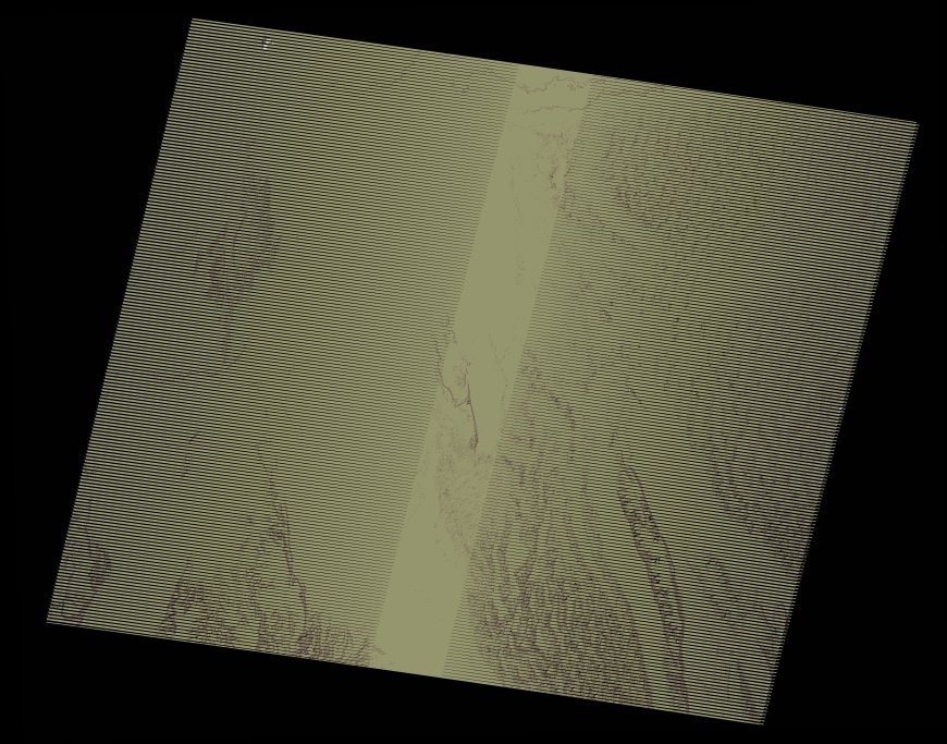
wofs_ls_192041_2017-01-10.stac-item
dataset of product wofs_ls
Indexed by odc_writer
,
created
Region
192041
for
10th January 2017
Fields 🔗
cloud_cover
0.0
collection_category
T1
creation_time
2021-09-01 04:05:50
crs_raw
•
data_coverage
•
dataset_version
1.0.0
eo_gsd
30.0
eo_sun_azimuth
152.382
eo_sun_elevation
35.493
format
GeoTIFF
id
488053a7-4b9d-51b8-b71c-c136f2bf480e
instrument
ETM
label
•
lat
26.493 to 28.376
lon
5.306 to 7.639
platform
landsat-7
product_family
wofs
region
•
region_code
192041
rmse
4.51
rmse_x
3.232
rmse_y
3.145
sat_orbit_state
•
sat_relative_orbit
•
time
2017-01-10 10:05:44 to 2017-01-10 10:05:44
Related Datasets 🔗
wofs_ls_192041_2017-01-10.stac-item