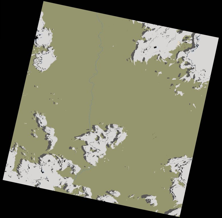
wofs_ls_180071_2022-11-20.stac-item
dataset of product wofs_ls
Indexed by odc_writer
,
created
Region
180071
for
20th November 2022
Fields 🔗
cloud_cover
18.13
collection_category
T1
creation_time
2023-03-21 19:41:40
crs_raw
•
data_coverage
•
dataset_version
1.0.0
eo_gsd
30.0
eo_sun_azimuth
102.736
eo_sun_elevation
65.415
format
GeoTIFF
id
467d0a87-6038-5b02-b070-9acaafa75556
instrument
OLI_TIRS
label
•
lat
-16.947 to -14.859
lon
14.353 to 16.45
platform
landsat-9
product_family
wofs
region
•
region_code
180071
rmse
6.481
rmse_x
4.494
rmse_y
4.67
sat_orbit_state
•
sat_relative_orbit
•
time
2022-11-20 09:01:48 to 2022-11-20 09:01:48
Related Datasets 🔗
wofs_ls_180071_2022-11-20.stac-item