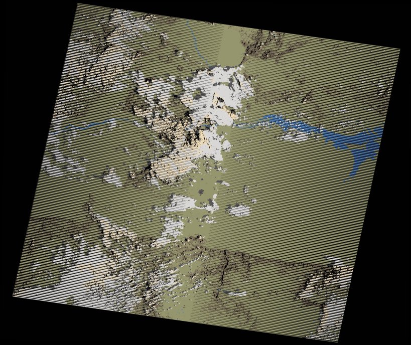
wofs_ls_170071_2023-12-21.stac-item
dataset of product wofs_ls
Indexed by odc_writer
,
created
Region
170071
for
21st December 2023
Fields 🔗
cloud_cover
16.0
collection_category
T1
creation_time
2024-02-26 04:27:51
crs_raw
•
data_coverage
•
dataset_version
1.0.0
eo_gsd
30.0
eo_sun_azimuth
108.47
eo_sun_elevation
27.959
format
GeoTIFF
id
44046c15-0e35-5af5-9739-226c73954685
instrument
ETM
label
•
lat
-16.841 to -14.973
lon
29.251 to 31.398
platform
landsat-7
product_family
wofs
region
•
region_code
170071
rmse
5.934
rmse_x
4.435
rmse_y
3.943
sat_orbit_state
•
sat_relative_orbit
•
time
2023-12-21 05:32:47 to 2023-12-21 05:32:47
Related Datasets 🔗
wofs_ls_170071_2023-12-21.stac-item