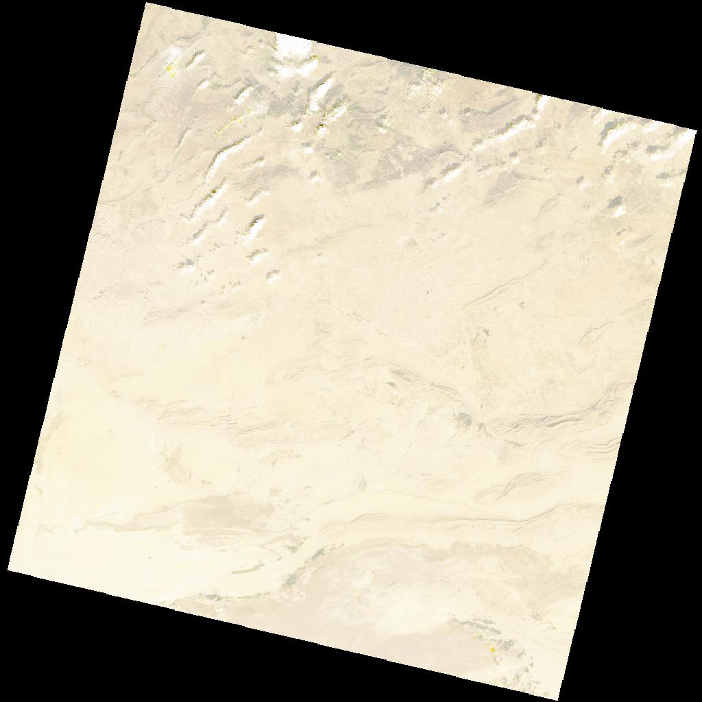
LC09_L2SP_192036_20211207_20230505_02_T1_SR_stac
dataset of product ls9_sr
Indexed by odc_writer
,
created
Region
192036
for
7th December 2021
Fields 🔗
cloud_cover
2.2
collection_category
T1
creation_time
2021-12-07 10:01:55
crs_raw
•
data_coverage
•
dataset_version
•
eo_gsd
•
eo_sun_azimuth
159.675
eo_sun_elevation
29.951
format
GeoTIFF
id
41f00de3-7d5c-526e-9da9-173cb0d51a8a
instrument
OLI_TIRS
label
•
lat
33.552 to 35.655
lon
7.135 to 9.605
platform
LANDSAT_9
product_family
•
region
•
region_code
192036
rmse
5.572
rmse_x
3.903
rmse_y
3.977
sat_orbit_state
•
sat_relative_orbit
•
time
2021-12-07 10:01:55 to 2021-12-07 10:01:55
Related Datasets 🔗
LC09_L2SP_192036_20211207_20230505_02_T1_SR_stac