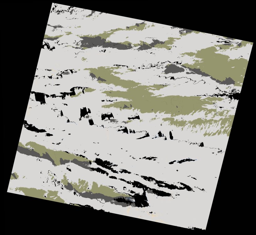
wofs_ls_195042_2022-12-31.stac-item
dataset of product wofs_ls
Indexed by odc_writer
,
created
Region
195042
for
31st December 2022
Fields 🔗
cloud_cover
44.92
collection_category
T1
creation_time
2023-01-02 11:03:53
crs_raw
•
data_coverage
•
dataset_version
1.0.0
eo_gsd
30.0
eo_sun_azimuth
153.042
eo_sun_elevation
35.894
format
GeoTIFF
id
3da31c23-1280-5521-ad94-05eb046c4851
instrument
OLI_TIRS
label
•
lat
24.939 to 27.034
lon
0.355 to 2.6
platform
landsat-9
product_family
wofs
region
•
region_code
195042
rmse
6.054
rmse_x
4.628
rmse_y
3.902
sat_orbit_state
•
sat_relative_orbit
•
time
2022-12-31 10:22:55 to 2022-12-31 10:22:55
Related Datasets 🔗
wofs_ls_195042_2022-12-31.stac-item