Fields 🔗
cloud_cover
0.0
collection_category
T1
creation_time
2022-02-15 00:21:51
crs_raw
•
data_coverage
•
dataset_version
1.1.0
eo_gsd
30.0
eo_sun_azimuth
148.445
eo_sun_elevation
49.285
format
GeoTIFF
id
3c9a6b00-2f36-5601-8ada-caeb76c27b7c
instrument
OLI_TIRS
label
•
lat
13.406 to 15.497
lon
0.005 to 2.053
platform
landsat-9
product_family
fc
region
•
region_code
194050
rmse
6.21
rmse_x
4.552
rmse_y
4.225
sat_orbit_state
•
sat_relative_orbit
•
time
2021-11-23 10:16:52 to 2021-11-23 10:16:52
Related Datasets 🔗
Location 🔗
s3://deafrica-services/fc_ls/1-1-0/194/050/2021/11/23/fc_ls_194050_2021-11-23.stac-item.json
| bs | fc_ls_194050_2021-11-23_bs.tif |
|---|---|
| checksum:sha1 | fc_ls_194050_2021-11-23.sha1 |
| metadata:processor | fc_ls_194050_2021-11-23.proc-info.yaml |
| npv | fc_ls_194050_2021-11-23_npv.tif |
| pv | fc_ls_194050_2021-11-23_pv.tif |
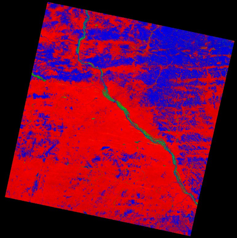
| thumbnail | fc_ls_194050_2021-11-23_thumbnail.jpg |
| ue | fc_ls_194050_2021-11-23_ue.tif |