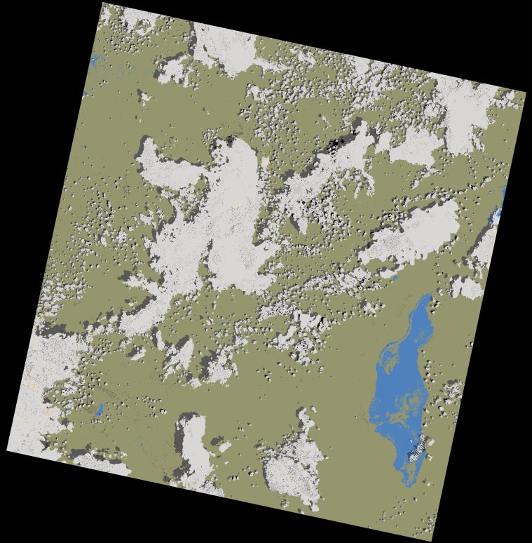
wofs_ls_170063_2021-12-29.stac-item
dataset of product wofs_ls
Indexed by odc_writer
,
created
Region
170063
for
29th December 2021
Fields 🔗
cloud_cover
23.06
collection_category
T1
creation_time
2023-05-03 14:14:23
crs_raw
•
data_coverage
•
dataset_version
1.0.0
eo_gsd
30.0
eo_sun_azimuth
127.565
eo_sun_elevation
57.058
format
GeoTIFF
id
3c8e26fd-6918-5496-a56d-e0d2f2324564
instrument
OLI_TIRS
label
•
lat
-5.386 to -3.299
lon
32.373 to 34.385
platform
landsat-9
product_family
wofs
region
•
region_code
170063
rmse
7.76
rmse_x
5.389
rmse_y
5.583
sat_orbit_state
•
sat_relative_orbit
•
time
2021-12-29 07:56:37 to 2021-12-29 07:56:37
Related Datasets 🔗
wofs_ls_170063_2021-12-29.stac-item