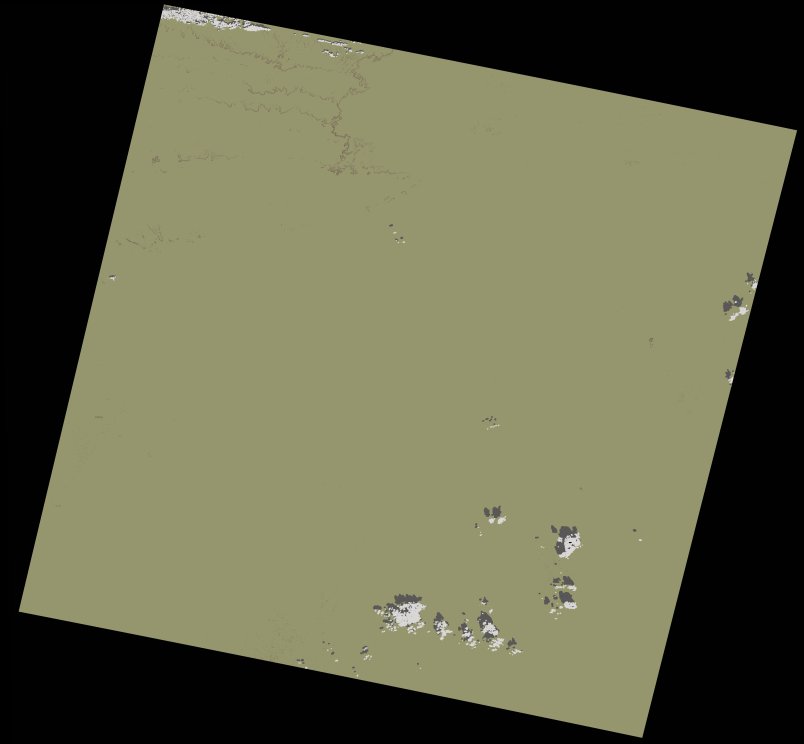
wofs_ls_202042_2021-11-12.stac-item
dataset of product wofs_ls
Indexed by odc_writer
,
created
Archived
Fields 🔗
cloud_cover
0.3
collection_category
T1
creation_time
2022-02-14 23:29:34
crs_raw
•
data_coverage
•
dataset_version
1.0.0
eo_gsd
30.0
eo_sun_azimuth
155.197
eo_sun_elevation
42.468
format
GeoTIFF
id
3a42b646-f204-5036-b1c2-20f18aaf1c47
instrument
OLI_TIRS
label
•
lat
24.939 to 27.034
lon
-10.899 to -8.677
platform
landsat-9
product_family
wofs
region
•
region_code
202042
rmse
3.974
rmse_x
2.192
rmse_y
3.315
sat_orbit_state
•
sat_relative_orbit
•
time
2021-11-12 11:07:28 to 2021-11-12 11:07:28