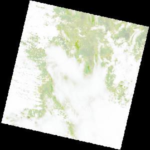
LC09_L2SP_171071_20230124_20230126_02_T1_SR_stac
dataset of product ls9_sr
Indexed by odc_writer
,
created
Archived
Fields 🔗
cloud_cover
88.43
collection_category
T1
creation_time
2023-01-24 08:06:04
crs_raw
•
data_coverage
•
dataset_version
•
eo_gsd
•
eo_sun_azimuth
101.03
eo_sun_elevation
59.214
format
GeoTIFF
id
37dc8145-2744-5611-b256-88c66c6ac28c
instrument
OLI_TIRS
label
•
lat
-16.948 to -14.86
lon
28.271 to 30.37
platform
LANDSAT_9
product_family
•
region
•
region_code
171071
rmse
9.334
rmse_x
5.691
rmse_y
7.399
sat_orbit_state
•
sat_relative_orbit
•
time
2023-01-24 08:06:04 to 2023-01-24 08:06:04