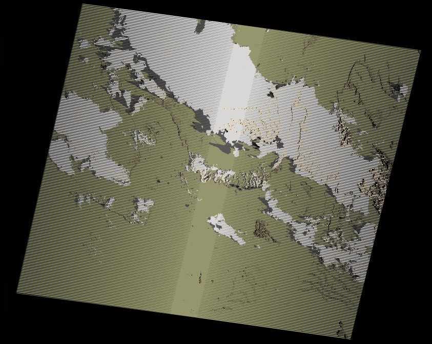
wofs_ls_194043_2023-10-07.stac-item
dataset of product wofs_ls
Indexed by odc_writer
,
created
Region
194043
for
7th October 2023
Fields 🔗
cloud_cover
27.0
collection_category
T1
creation_time
2024-02-26 04:09:46
crs_raw
•
data_coverage
•
dataset_version
1.0.0
eo_gsd
30.0
eo_sun_azimuth
111.473
eo_sun_elevation
28.423
format
GeoTIFF
id
3251da6e-5921-51ad-ba3c-5fcfcdd0f784
instrument
ETM
label
•
lat
23.639 to 25.509
lon
0.981 to 3.245
platform
landsat-7
product_family
wofs
region
•
region_code
194043
rmse
4.557
rmse_x
2.88
rmse_y
3.531
sat_orbit_state
•
sat_relative_orbit
•
time
2023-10-07 07:58:22 to 2023-10-07 07:58:22
Related Datasets 🔗
wofs_ls_194043_2023-10-07.stac-item