Fields 🔗
cloud_cover
3.81
collection_category
T1
creation_time
2022-02-25 14:21:55
crs_raw
•
data_coverage
•
dataset_version
1.1.0
eo_gsd
30.0
eo_sun_azimuth
139.874
eo_sun_elevation
47.06
format
GeoTIFF
id
31d0b95f-8d55-5a0c-9eaa-f38a06def839
instrument
OLI_TIRS
label
•
lat
23.5 to 25.593
lon
1.574 to 3.79
platform
landsat-9
product_family
fc
region
•
region_code
194043
rmse
3.634
rmse_x
2.686
rmse_y
2.447
sat_orbit_state
•
sat_relative_orbit
•
time
2022-02-23 10:16:48 to 2022-02-23 10:16:48
Related Datasets 🔗
Location 🔗
s3://deafrica-services/fc_ls/1-1-0/194/043/2022/02/23/fc_ls_194043_2022-02-23.stac-item.json
| bs | fc_ls_194043_2022-02-23_bs.tif |
|---|---|
| checksum:sha1 | fc_ls_194043_2022-02-23.sha1 |
| metadata:processor | fc_ls_194043_2022-02-23.proc-info.yaml |
| npv | fc_ls_194043_2022-02-23_npv.tif |
| pv | fc_ls_194043_2022-02-23_pv.tif |
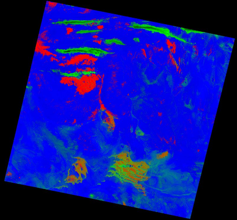
| thumbnail | fc_ls_194043_2022-02-23_thumbnail.jpg |
| ue | fc_ls_194043_2022-02-23_ue.tif |