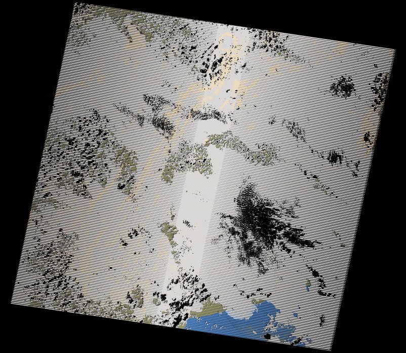
wofs_ls_194056_2014-12-02.stac-item
dataset of product wofs_ls
Indexed by odc_writer
,
created
Region
194056
for
2nd December 2014
Fields 🔗
cloud_cover
87.0
collection_category
T2
creation_time
2021-09-01 02:15:30
crs_raw
•
data_coverage
•
dataset_version
1.0.0
eo_gsd
30.0
eo_sun_azimuth
140.705
eo_sun_elevation
53.745
format
GeoTIFF
id
29cc439f-a4aa-5f20-bc05-c3adc4c70b1e
instrument
ETM
label
•
lat
4.854 to 6.722
lon
-2.574 to -0.507
platform
landsat-7
product_family
wofs
region
•
region_code
194056
rmse
nan
rmse_x
nan
rmse_y
nan
sat_orbit_state
•
sat_relative_orbit
•
time
2014-12-02 10:20:15 to 2014-12-02 10:20:15
Related Datasets 🔗
wofs_ls_194056_2014-12-02.stac-item