Fields 🔗
cloud_cover
95.86
collection_category
T1
creation_time
2022-02-15 00:26:45
crs_raw
•
data_coverage
•
dataset_version
1.1.0
eo_gsd
30.0
eo_sun_azimuth
129.09
eo_sun_elevation
59.419
format
GeoTIFF
id
21ac02ff-334d-5d07-b8a1-10b5503dafeb
instrument
OLI_TIRS
label
•
lat
-5.386 to -3.299
lon
23.08 to 25.093
platform
landsat-9
product_family
fc
region
•
region_code
176063
rmse
8.234
rmse_x
5.731
rmse_y
5.912
sat_orbit_state
•
sat_relative_orbit
•
time
2021-12-07 08:33:48 to 2021-12-07 08:33:48
Related Datasets 🔗
Location 🔗
s3://deafrica-services/fc_ls/1-1-0/176/063/2021/12/07/fc_ls_176063_2021-12-07.stac-item.json
| bs | fc_ls_176063_2021-12-07_bs.tif |
|---|---|
| checksum:sha1 | fc_ls_176063_2021-12-07.sha1 |
| metadata:processor | fc_ls_176063_2021-12-07.proc-info.yaml |
| npv | fc_ls_176063_2021-12-07_npv.tif |
| pv | fc_ls_176063_2021-12-07_pv.tif |
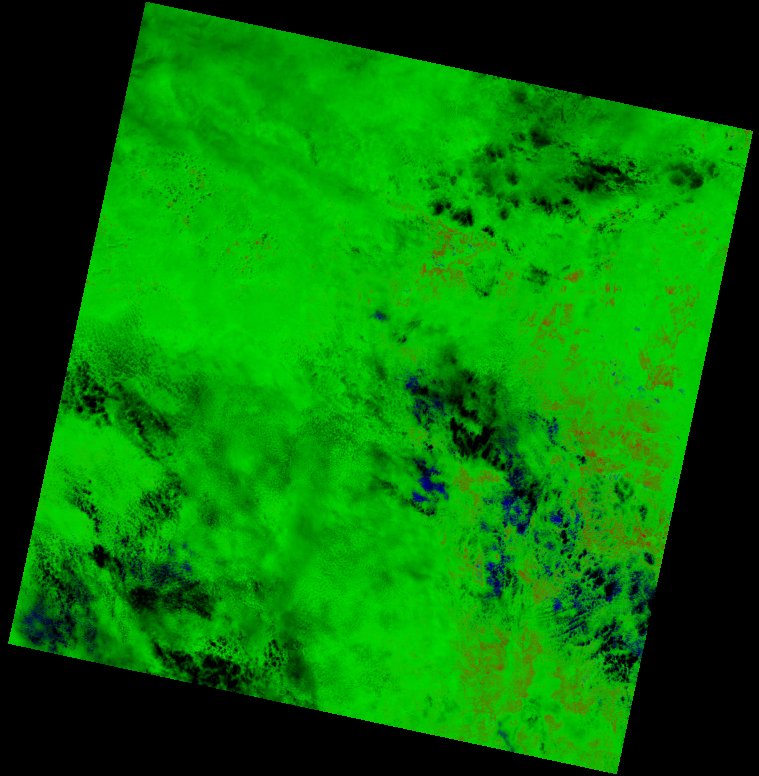
| thumbnail | fc_ls_176063_2021-12-07_thumbnail.jpg |
| ue | fc_ls_176063_2021-12-07_ue.tif |