Fields 🔗
cloud_cover
70.6
collection_category
T1
creation_time
2022-03-01 13:59:08
crs_raw
•
data_coverage
•
dataset_version
1.1.0
eo_gsd
30.0
eo_sun_azimuth
74.36
eo_sun_elevation
55.883
format
GeoTIFF
id
21361af6-cabe-5d07-a3cb-140bf007d21a
instrument
OLI_TIRS
label
•
lat
-21.276 to -19.187
lon
22.638 to 24.794
platform
landsat-9
product_family
fc
region
•
region_code
174074
rmse
5.926
rmse_x
4.442
rmse_y
3.923
sat_orbit_state
•
sat_relative_orbit
•
time
2022-02-27 08:25:30 to 2022-02-27 08:25:30
Related Datasets 🔗
Location 🔗
s3://deafrica-services/fc_ls/1-1-0/174/074/2022/02/27/fc_ls_174074_2022-02-27.stac-item.json
| bs | fc_ls_174074_2022-02-27_bs.tif |
|---|---|
| checksum:sha1 | fc_ls_174074_2022-02-27.sha1 |
| metadata:processor | fc_ls_174074_2022-02-27.proc-info.yaml |
| npv | fc_ls_174074_2022-02-27_npv.tif |
| pv | fc_ls_174074_2022-02-27_pv.tif |
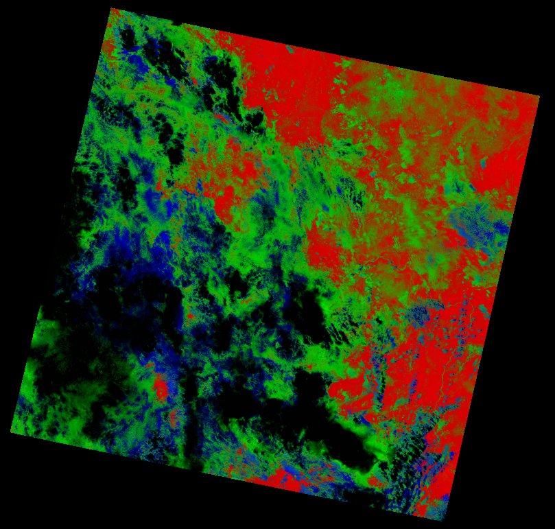
| thumbnail | fc_ls_174074_2022-02-27_thumbnail.jpg |
| ue | fc_ls_174074_2022-02-27_ue.tif |