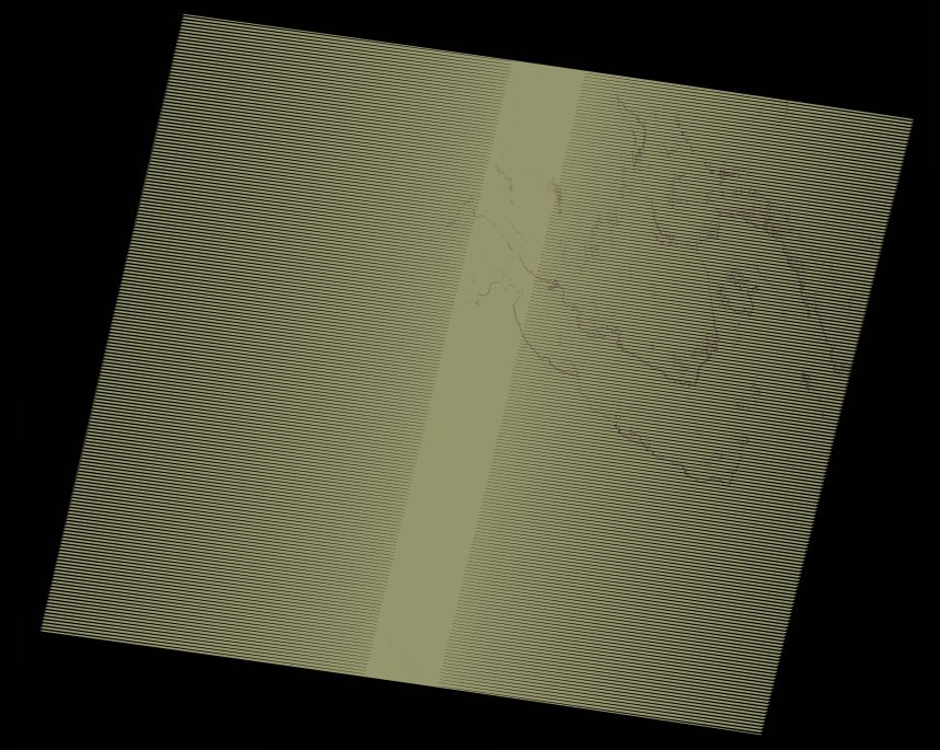
wofs_ls_195043_2021-02-11.stac-item
dataset of product wofs_ls
Indexed by odc_writer
,
created
Region
195043
for
11th February 2021
Fields 🔗
cloud_cover
0.0
collection_category
T1
creation_time
2021-09-01 04:44:19
crs_raw
•
data_coverage
•
dataset_version
1.0.0
eo_gsd
30.0
eo_sun_azimuth
131.965
eo_sun_elevation
36.638
format
GeoTIFF
id
1c94f214-7670-5e8d-a719-fe8b7ce9a489
instrument
ETM
label
•
lat
23.624 to 25.507
lon
-0.099 to 2.187
platform
landsat-7
product_family
wofs
region
•
region_code
195043
rmse
4.173
rmse_x
2.784
rmse_y
3.109
sat_orbit_state
•
sat_relative_orbit
•
time
2021-02-11 09:38:23 to 2021-02-11 09:38:23
Related Datasets 🔗
wofs_ls_195043_2021-02-11.stac-item
... 2 more