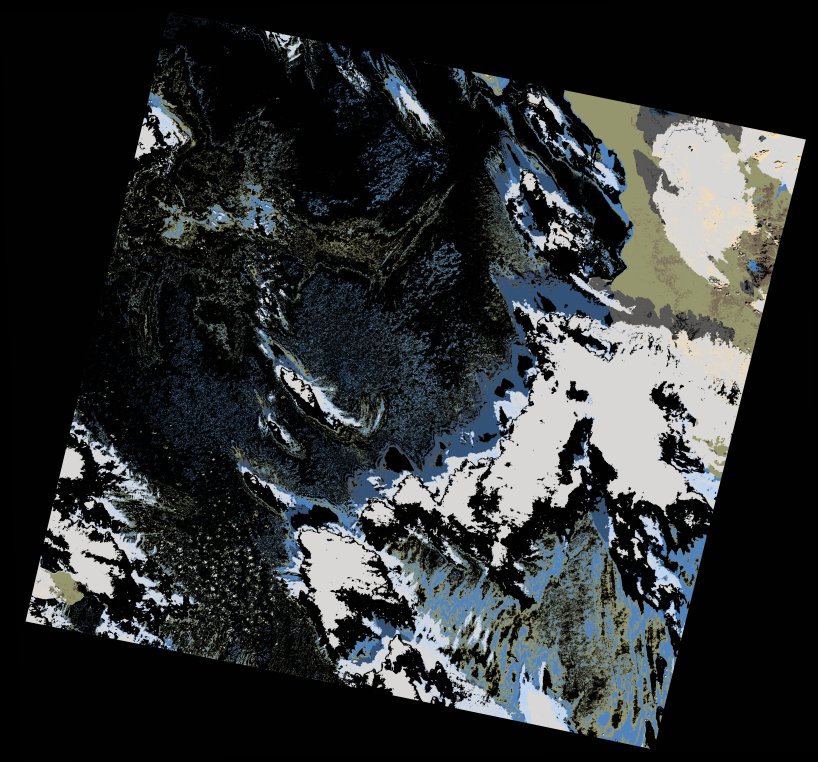
wofs_ls_172043_2021-12-27.stac-item
dataset of product wofs_ls
Indexed by odc_writer
,
created
Region
172043
for
27th December 2021
Fields 🔗
cloud_cover
49.0
collection_category
T1
creation_time
2022-01-23 15:44:44
crs_raw
•
data_coverage
•
dataset_version
1.0.0
eo_gsd
30.0
eo_sun_azimuth
136.681
eo_sun_elevation
27.438
format
GeoTIFF
id
141cce87-2502-5804-8713-3771568e835c
instrument
ETM
label
•
lat
23.625 to 25.508
lon
35.45 to 37.739
platform
landsat-7
product_family
wofs
region
•
region_code
172043
rmse
4.834
rmse_x
3.355
rmse_y
3.48
sat_orbit_state
•
sat_relative_orbit
•
time
2021-12-27 06:48:34 to 2021-12-27 06:48:34
Related Datasets 🔗
wofs_ls_172043_2021-12-27.stac-item