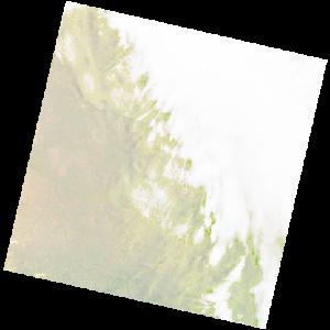
LC09_L2SP_170082_20211213_20230504_02_T1_SR_stac
dataset of product ls9_sr
Indexed by odc_writer
,
created
Region
170082
for
13th December 2021
Fields 🔗
cloud_cover
61.84
collection_category
T1
creation_time
2021-12-13 08:04:13
crs_raw
•
data_coverage
•
dataset_version
•
eo_gsd
•
eo_sun_azimuth
79.992
eo_sun_elevation
61.738
format
GeoTIFF
id
13e77401-7b9b-56de-a22a-2d3c374ad0fa
instrument
OLI_TIRS
label
•
lat
-32.792 to -30.695
lon
25.803 to 28.206
platform
LANDSAT_9
product_family
•
region
•
region_code
170082
rmse
7.985
rmse_x
5.037
rmse_y
6.196
sat_orbit_state
•
sat_relative_orbit
•
time
2021-12-13 08:04:13 to 2021-12-13 08:04:13
Related Datasets 🔗
LC09_L2SP_170082_20211213_20230504_02_T1_SR_stac