Fields 🔗
cloud_cover
0.01
collection_category
T1
creation_time
2022-12-28 04:51:02
crs_raw
•
data_coverage
•
dataset_version
1.1.0
eo_gsd
30.0
eo_sun_azimuth
149.052
eo_sun_elevation
42.883
format
GeoTIFF
id
1392f6f8-bac5-5a4a-b7af-351d8bf50a20
instrument
OLI_TIRS
label
•
lat
16.294 to 18.384
lon
-10.875 to -8.769
platform
landsat-9
product_family
fc
region
•
region_code
201048
rmse
5.208
rmse_x
3.879
rmse_y
3.475
sat_orbit_state
•
sat_relative_orbit
•
time
2022-12-25 11:02:21 to 2022-12-25 11:02:21
Related Datasets 🔗
Location 🔗
s3://deafrica-services/fc_ls/1-1-0/201/048/2022/12/25/fc_ls_201048_2022-12-25.stac-item.json
| bs | fc_ls_201048_2022-12-25_bs.tif |
|---|---|
| checksum:sha1 | fc_ls_201048_2022-12-25.sha1 |
| metadata:processor | fc_ls_201048_2022-12-25.proc-info.yaml |
| npv | fc_ls_201048_2022-12-25_npv.tif |
| pv | fc_ls_201048_2022-12-25_pv.tif |
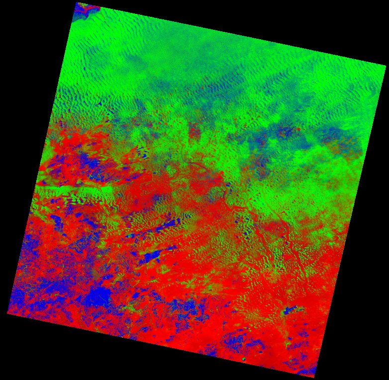
| thumbnail | fc_ls_201048_2022-12-25_thumbnail.jpg |
| ue | fc_ls_201048_2022-12-25_ue.tif |