Fields 🔗
cloud_cover
61.48
collection_category
T1
creation_time
2022-02-14 23:02:41
crs_raw
•
data_coverage
•
dataset_version
1.1.0
eo_gsd
30.0
eo_sun_azimuth
119.829
eo_sun_elevation
62.012
format
GeoTIFF
id
11931c41-7aa0-584b-9550-4225b99ac06d
instrument
OLI_TIRS
label
•
lat
-11.169 to -9.082
lon
21.822 to 23.864
platform
landsat-9
product_family
fc
region
•
region_code
176067
rmse
8.514
rmse_x
5.423
rmse_y
6.564
sat_orbit_state
•
sat_relative_orbit
•
time
2021-12-07 08:35:23 to 2021-12-07 08:35:23
Related Datasets 🔗
Location 🔗
s3://deafrica-services/fc_ls/1-1-0/176/067/2021/12/07/fc_ls_176067_2021-12-07.stac-item.json
| bs | fc_ls_176067_2021-12-07_bs.tif |
|---|---|
| checksum:sha1 | fc_ls_176067_2021-12-07.sha1 |
| metadata:processor | fc_ls_176067_2021-12-07.proc-info.yaml |
| npv | fc_ls_176067_2021-12-07_npv.tif |
| pv | fc_ls_176067_2021-12-07_pv.tif |
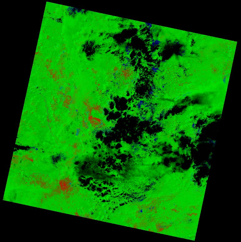
| thumbnail | fc_ls_176067_2021-12-07_thumbnail.jpg |
| ue | fc_ls_176067_2021-12-07_ue.tif |