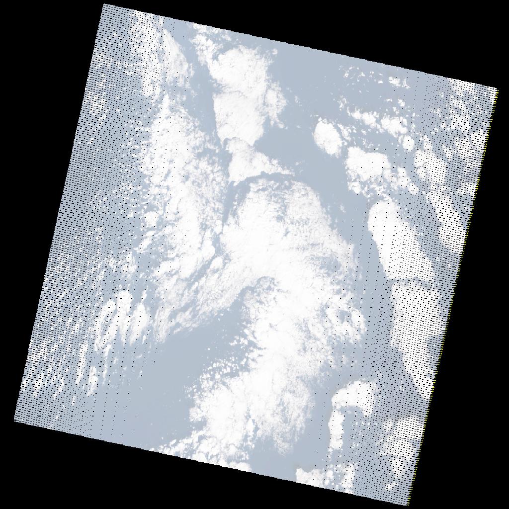
LE07_L2SP_181037_20201223_20210118_02_T2_SR_stac
dataset of product ls7_sr
Indexed by odc_writer
,
created
Region
181037
for
23rd December 2020
Fields 🔗
cloud_cover
33.0
collection_category
T2
creation_time
2020-12-23 08:13:02
crs_raw
•
data_coverage
•
dataset_version
•
eo_gsd
•
eo_sun_azimuth
147.647
eo_sun_elevation
25.856
format
GeoTIFF
id
07b0f5a3-3a3b-5bf5-9fdc-fd31b47efd6e
instrument
ETM
label
•
lat
32.246 to 34.138
lon
23.655 to 26.156
platform
LANDSAT_7
product_family
•
region
•
region_code
181037
rmse
nan
rmse_x
nan
rmse_y
nan
sat_orbit_state
•
sat_relative_orbit
•
time
2020-12-23 08:13:02 to 2020-12-23 08:13:02
Related Datasets 🔗
LE07_L2SP_181037_20201223_20210118_02_T2_SR_stac