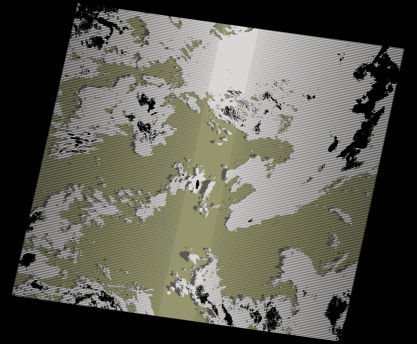
wofs_ls_180071_2021-01-01.stac-item
dataset of product wofs_ls
Indexed by odc_writer
,
created
Region
180071
for
1st January 2021
Fields 🔗
cloud_cover
51.0
collection_category
T1
creation_time
2021-09-01 03:00:18
crs_raw
•
data_coverage
•
dataset_version
1.0.0
eo_gsd
30.0
eo_sun_azimuth
107.046
eo_sun_elevation
51.295
format
GeoTIFF
id
04e60a9f-3071-5f9a-89da-f37739177f65
instrument
ETM
label
•
lat
-16.836 to -14.972
lon
14.378 to 16.543
platform
landsat-7
product_family
wofs
region
•
region_code
180071
rmse
4.949
rmse_x
2.987
rmse_y
3.946
sat_orbit_state
•
sat_relative_orbit
•
time
2021-01-01 08:19:48 to 2021-01-01 08:19:48
Related Datasets 🔗
wofs_ls_180071_2021-01-01.stac-item
... 4 more