Fields 🔗
cloud_cover
26.0
collection_category
T1
creation_time
2022-01-19 09:30:44
crs_raw
•
data_coverage
•
dataset_version
1.1.0
eo_gsd
30.0
eo_sun_azimuth
88.176
eo_sun_elevation
47.105
format
GeoTIFF
id
690650a5-6187-5b2f-bfc9-54429a4ae7d6
instrument
ETM
label
•
lat
-34.137 to -32.239
lon
27.048 to 29.577
platform
landsat-7
product_family
fc
region
•
region_code
169083
rmse
5.964
rmse_x
3.643
rmse_y
4.722
sat_orbit_state
•
sat_relative_orbit
•
time
2021-12-06 06:48:01 to 2021-12-06 06:48:01
Related Datasets 🔗
Location 🔗
s3://deafrica-services/fc_ls/1-1-0/169/083/2021/12/06/fc_ls_169083_2021-12-06.stac-item.json
| bs | fc_ls_169083_2021-12-06_bs.tif |
|---|---|
| checksum:sha1 | fc_ls_169083_2021-12-06.sha1 |
| metadata:processor | fc_ls_169083_2021-12-06.proc-info.yaml |
| npv | fc_ls_169083_2021-12-06_npv.tif |
| pv | fc_ls_169083_2021-12-06_pv.tif |
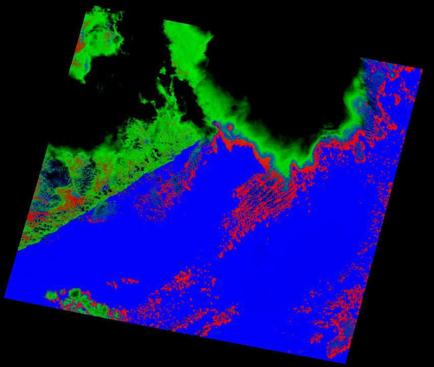
| thumbnail | fc_ls_169083_2021-12-06_thumbnail.jpg |
| ue | fc_ls_169083_2021-12-06_ue.tif |